The Bay Trail Plan was adopted by the ABAG (Association of Bay Area Governments) in 1989 with the goal of creating a 500-mile hike around the Bay Area. Now over two thirds complete, there are 338 accesible miles, this hike explores an easy-to-get-to portion of the trail at Oyster Point.
What You’ll See
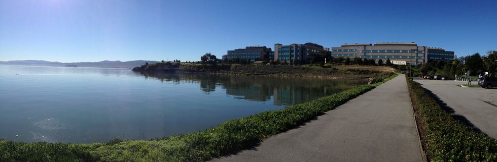
To the northwest the view is dominated by nearby San Bruno Mountain, across the water Mt. Diablo peaks up behind the East Bay hills, and on clear days you can see south to the San Mateo Bridge, Foster City, and the Coyote Hills. Take a seat on one of the many trailside benches and watch aircraft take off and land at SFO. Birds are in abundance here, with cormorants, pelicans, egrets, and coots commonly seen along the path. Keep your eye out for the occasional sighting of a blue heron or Canda goose.
The Hike
1. Begin at the Oyster Point Marina, where there are restrooms and drinking water. There’s a small beach here, with picnic tables, beach volleyball, and sheltered bay swimming.
2. Follow the trail around the marina parking lot, passing the ferry terminal and a fishing pier.
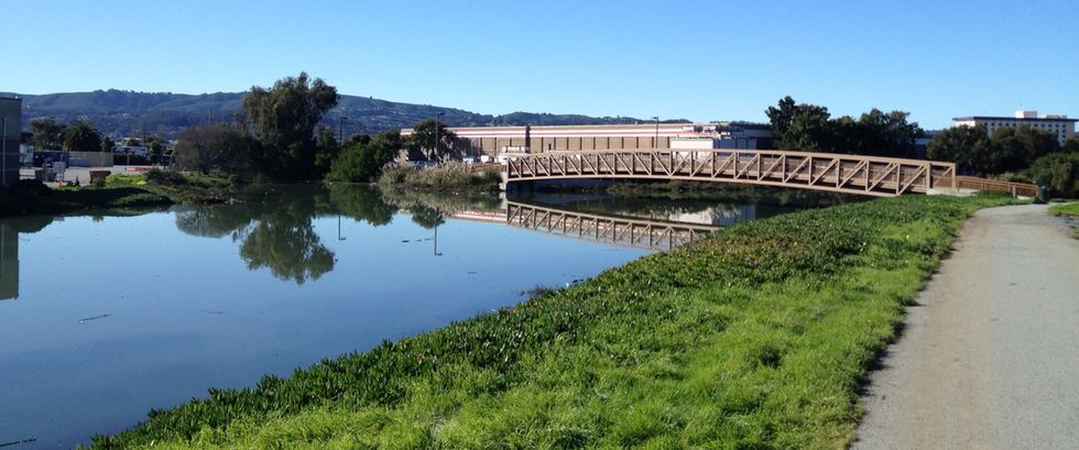
3. As the trail turns back west you’ll see the airport in the distance. Cross the bridge and continue along the public shore, soon coming to Pt. San Bruno Park, where there are more picnic tables.
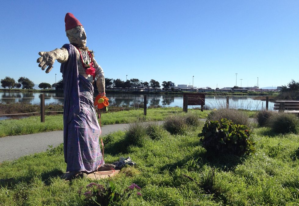
4. Past Genentech, you’ll cross a bridge and skirt alongside a scavenging facility before rounding a bend and enjoying the view over the Colma Creek estuary.
How to Get There
1. Take the Oyster Point exit off Hwy. 101 just south of Brisbane.
2. Head east on Oyster Point Blvd.
3. Just after the stoplight at Marin Blvd. make a right turn into Oyster Point Park.
On weekday afternons you can take the ferry. See the San Francisco Bay Ferry for more info.
Trail Details
An alternate entry point (the blue dot on the map below) is at the end of Belle Aire Rd. just off S. Airport Blvd., adjacent to Costco.
The entire two miles (one-way) is paved and wheelchair accessible. There is a moderate hill midway at San Bruno Park. The only water and restroom facilities are at the beginning in the Oyster Point Marina.
To extend the hike, you can also head north from the Marina and go as far the Sierra Point; this would add another two miles.
Other Things to Do
For food, Mom’s serves up filling Korean fare, including killer bibimbap in stone bowls. La Barca taco truck is parked in the VitaSoy parking lot (corner of Oyster Point Blvd. and Eccles Ave) weekdays from 11am to 3pm.
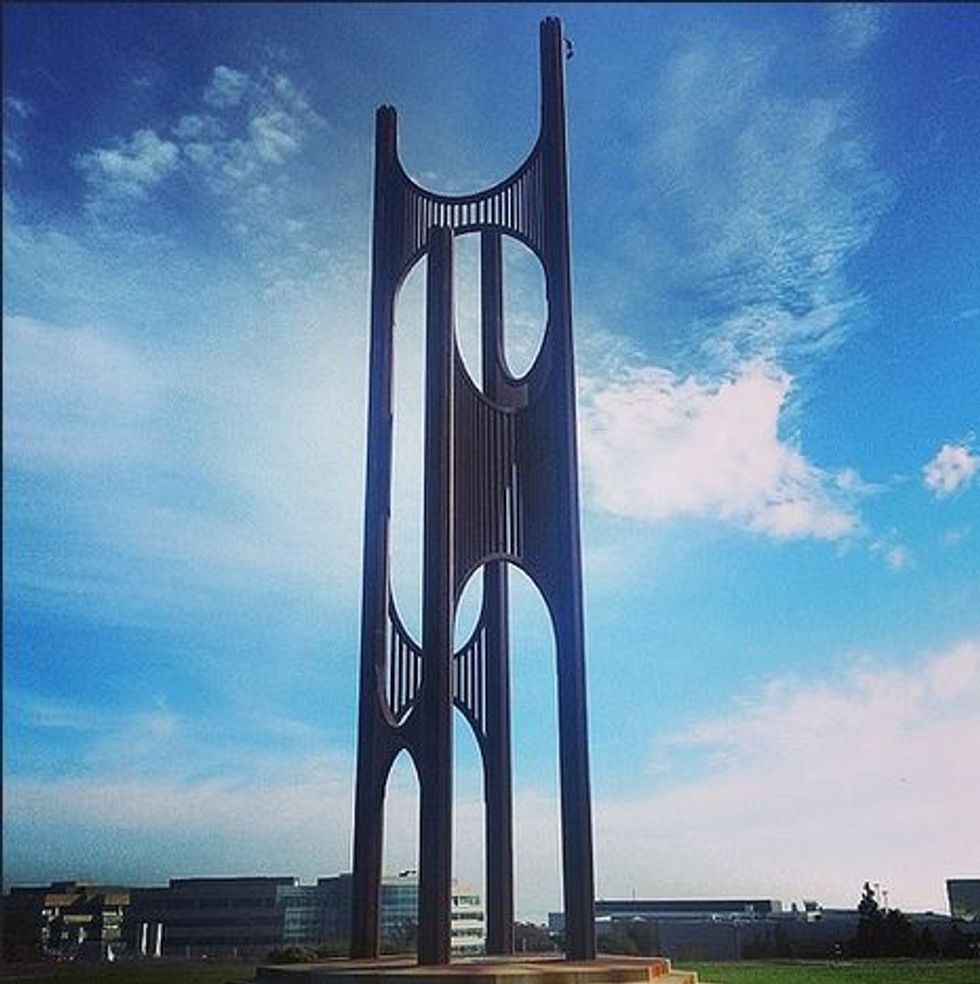
You can also pay a visit to the fascinating “Wind Harp” on the hill above Genenetech. Go up DNA Way about ½ mile from the trail after you pass the UPS distribution center.