New trend alert: gravel bikes bear a resemblance to endurance road bikes, but are outfitted for use on gravel, dirt, or fire roads. No doubt you'll be seeing these babies around town, so here's where to take yours when you finally give in to the peer pressure.
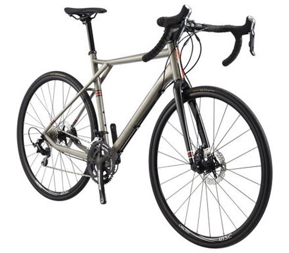
Like their cousins the cyclocross bikes, gravel bikes usually feature drop handle-bars, disc brakes, a high bottom bracket and clearance for larger width tires (usually 28 to 38mm). What sets a gravel bike apart though is the frame design: Gravel bikes generally have a more relaxed geometry that utilizes a taller head tube, a sloping top tube, and a longer wheel base for improved comfort over long distances. The head tube angle is also a little slacker, and the chain stays longer, to give you more stability on uneven surfaces. 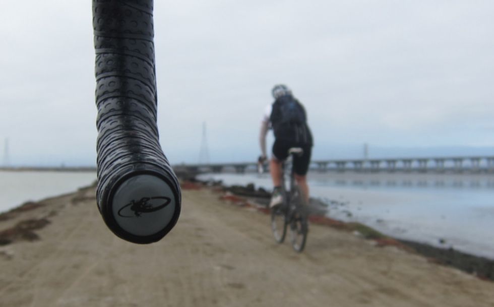
How to Get There
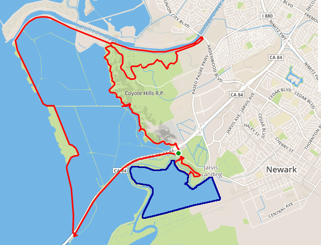
The ride starts from the Don Edwards San Francisco Bay Wildlife Refuge, located just south of Hwy. 84 in Newark. Take the Thornton Ave. exit from 84 and head south about 0.7 of a mile before turning right on Marshlands Rd. There are parking lots on both sides of the road.
The Ride
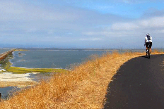
This is a fun ride that offers a number of unique views from various spots along the bay. It’s nice to stop and listen, and keep your eyes peeled for local wildlife.
1. From either parking lot, head north on Marshlands Rd. After the crest look for a brown and white sign that says Quarry Trail and turn right onto the maintenance road, then make an immediate left onto the trail which soon crosses over Hwy. 84.
2. Then cross Quarry Rd. and bear left onto the Apay Trail – there are two possibilities, either works as they merge. The trail meanders 1.3 miles first, above an enormous rock quarry now filled with water and then the former Cargil salt evaporation ponds. This higher vantage points offer fabulous views of the Bay and peninsula to the west.
3. We’ve entered the Coyote Hills Regional Park. At the intersection take an uphill left onto the Bayview Trail, which is paved. More vistas open up as we turn to the north.
4. As Alameda Creek and the trail alongside it come into view we turn eastward and continue through the trail intersection (1.5 miles) remaining on the Bayview; .8 miles later you’ll come to a parking area, restrooms, and water.
5. Continue south past the parking area and then cross over to the Chochenyo Trail as it heads north, then east. Excellent bird watching here as you traverse this unpaved trail.
6. The Chochenyo then becomes the D.U.S.T. Trail after 1 mile. You’ll parallel the Alameda Creek Trail. Note the nesting boxes along the trail edge perched atop 6 foot tall poles.
7. Resist the tempation to join the paved AC Trail and instead bear to the right to join the Crandell Creek Trail, which also parallels the AC.
8. As you approach Ardenwood Blvd. the trail turns up and joins the AC Trail. Turn left and ride back on the paved path above the creek.
9. Continue on the AC for 2 miles, until you reach the mouth of Alameda Creek. Here you’ll turn left, and get on a narrow salt pond berm, far out in the San Francisco Bay. The views to the east of the Coyote Hills are outstanding as you pedal, surounded by stillness, the 4.1 miles down to the Dumbarton Bridge.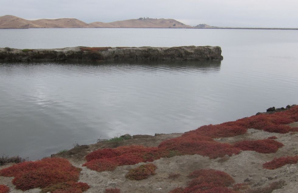
11. A nice ride extension is to take the paved road down to the Newark Slough Learning Center. A short distance past the gate, get on the single track trail and ride down to the boardwalk, then after crossing over the channel, you’ll come to the Newark Slough Trail. Go right for a 5 mile loop circuit, shown in blue on the map below, otherwise...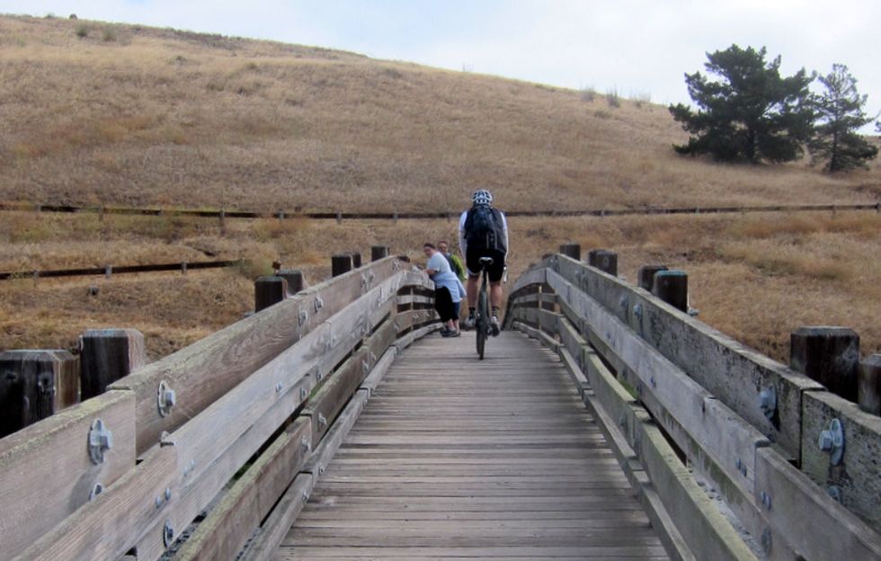
13. Turn right on the Tidelands Trail to skirt around the base of the hill; at the next intersection bear left for a short climb up and over the hill to return the parking area.
Some of you may appreciate that there’s not much elevation change on this ride - we logged about 700 feet. Total distance if you include the Newark Slough Trail loop is approximately 24.6 miles.