

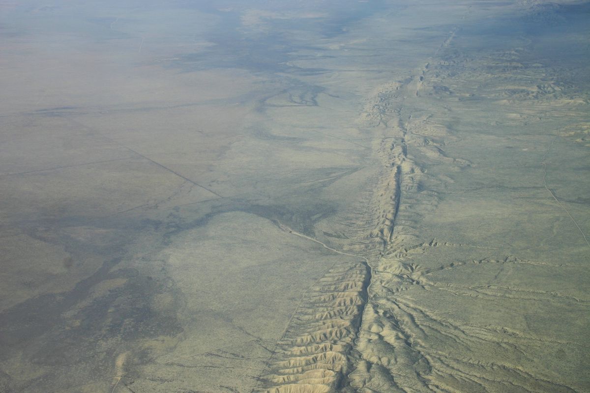
For anyone who lives along the San Andreas fault, an active fault line which stretches roughly 800 miles through California from Cape Mendocino to the Mexican border passing by San Diego, Los Angeles and Big Sur on the way, you probably don't want to hear that the ground beneath you has been moving lately, but that's what a new study published in Nature Geoscience revealed this month.
A research team helmed by Samuel Howell at the University of Hawai'i was able to pick apart subtle signals that revealed a massive spatial vertical movement in California. What does that mean in layman's terms? Huge sections of California are rising and sinking around the San Andreas fault. The vertical movement is the result of seismic strain that could ultimately result in a large earthquake.
Scientists found that much of the Los Angeles Basin, Orange County, San Diego County, and the Bakersfield area are sinking 2 to 3 millimeters a year, while Santa Barbara and San Luis Obispo Counties, and a large portion of San Bernardino County, are rising at the same rate.
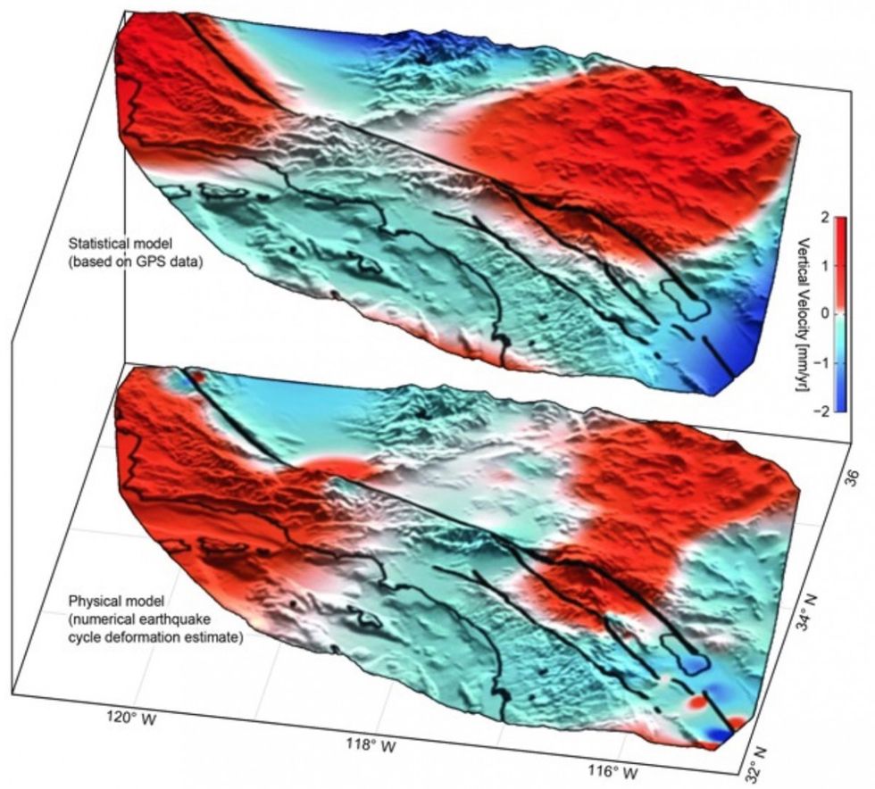 San Andreas Fault System vertical velocities. The areas in red are rising, while the areas in blue are sinking.(Nature Geoscience)
But before you start running from your office high rise, keep in mind the study isn't expected to help scientists suddenly predict the precise time and location of the next devastating quake.
As Sam Howell, a doctoral candidate in geophysics at the University of Hawaii at Manoa, told the Los Angeles Times, "It's pretty much impossible to say when the next one will happen."


