The perks to San Francisco are many, one of the best being the natural beauty that is found within the city limits. One moment you can be having artisanal cocktails and the next, hiking up a summit that overlooks downtown, the San Francisco Bay, and the Golden Gate Bridge – all without having to even get in a car. However, just beyond the city limits of San Francisco are some beautiful hikes that offer dramatic views of the city.
Mount Tamalpais - Mt. Tam features a plethora of hikes, making it one of the most versatile trail systems near San Francisco, from sweeping meadows to dramatic views overlooking the Pacific Ocean to multiple hills that offer views looking toward San Francisco. The East Peak loop or the Matt Davis trail are great starting points. If you want good photos of San Francisco, make sure you have a camera with a good lens, as Mount Tamalpais is much further from San Francisco than the other hikes on this list.
Grizzly Peak - Grizzly Peak is less a hiking trail and more of a summit. There are some nearby trails, but the best view comes at the summit, overlooking Oakland, San Francisco, and the Pacific Ocean. It features one of the most sweeping views of the Bay Area. For less adventure and more romance, grab a bottle of local wine and take that special someone up to Grizzly Peak to enjoy the sun setting over San Francisco and the Pacific Ocean. It’s just a short drive from Berkeley up to the summit.
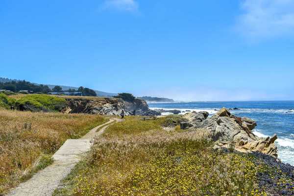
San Bruno Mountain - San Bruno Mountain is convenient to San Francisco because it doesn’t even require crossing the Golden Gate or Bay Bridge. Located just south of San Francisco, San Bruno Mountain offers a long ridgeline with a variety of different perspectives, but the most dramatic being how visitors can look down onto San Francisco. The highest point is just over 1,300 feet, making for a nice day hike for hikers of all skill levels. Interesting tidbits about San Bruno includes its habitat that is home to several endangered plants and butterflies and the remains of an old Nike missile site, which once served as an early warning radar site for enemy aircraft.
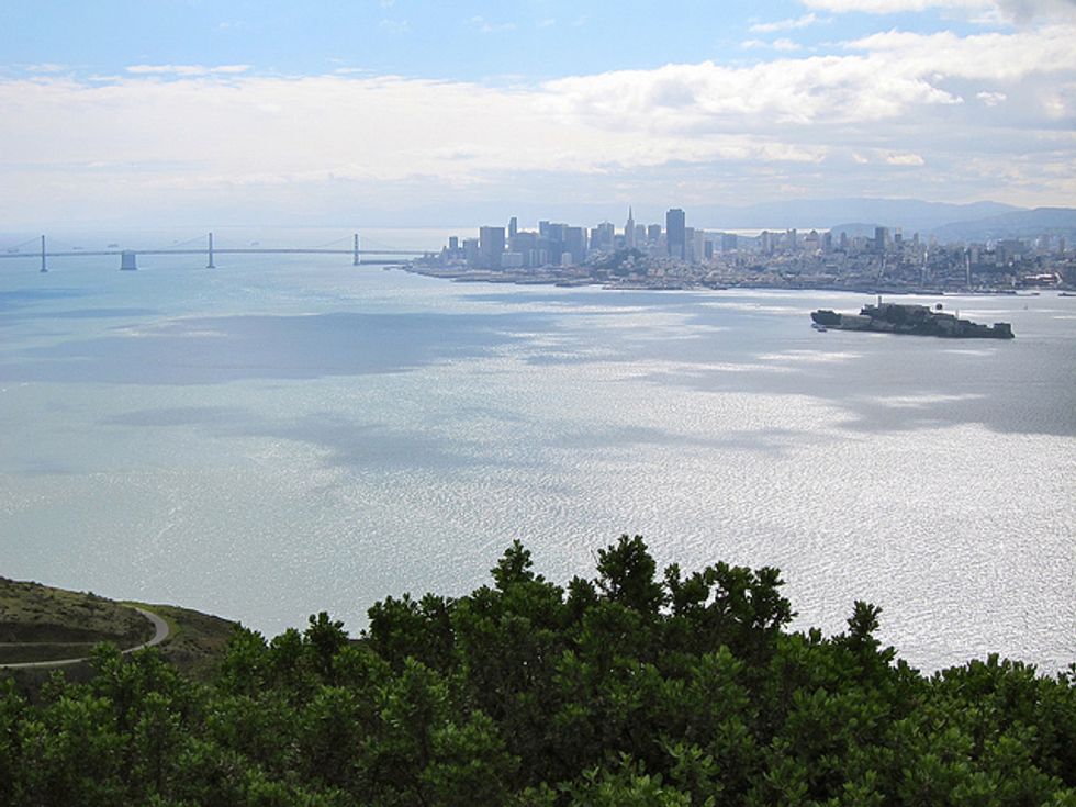
Angel Island - Angel Island doesn’t quite offer the summit views like these other hikes do, since its elevation doesn’t even exceed 1,000 feet; however, it’s location in the San Francisco Bay offers views of the bay and the San Francisco skyline that are unparalleled. To get to Angel Island, it’s just a short ferry ride from San Francisco. The highest point of the island is at Mount Livermore, which stands at 788 feet tall. It’s a gradual two-mile hike to the top of Mount Livermore, which similar to San Bruno Mountain, used to serve as a Nike missile site.