You might not expect a region crammed with more than eight million people to have enough parkland for a seriously long hike.
But this is the Bay Area: No matter where exactly you live, you're pretty much guaranteed to find a gorgeous trail only about a 30-minute drive away (if traffic cooperates, that is).
So kick off summer right with a long trail through the redwoods, the coastal bluffs, or the East Bay hills. These are four of our local favorites.
Borden Hatch Mill, Purisima Creek, and Grabtown Gulch Trail, Purisima Creek Redwoods (9.5-mile loop)
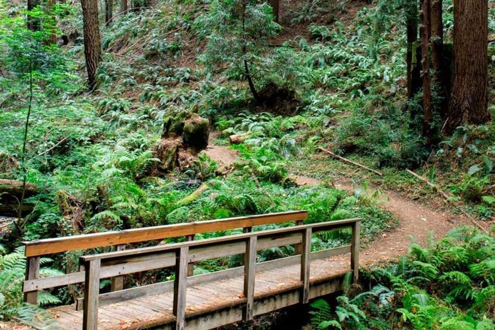
(Courtesy of @visitcalifornia)
This lengthy hike in the Santa Cruz Mountains is everything aficionados of redwoods and banana slugs could ever want. With steep ridges crowned in giants, babbling brooks, and plenty of bizarre flora and fauna, it’s one of the few trails long enough to keep you moving through California’s most unique habitat for the better part of a day. But just because it’s serene doesn’t mean it's easy. You’ll gain some serious elevation—2,280 feet to be exact—over a 9.5-mile loop, more than enough to break a sweat even on cool, fog-drenched mornings. // Purisima Creek Rd. (Half Moon Bay), openspace.org
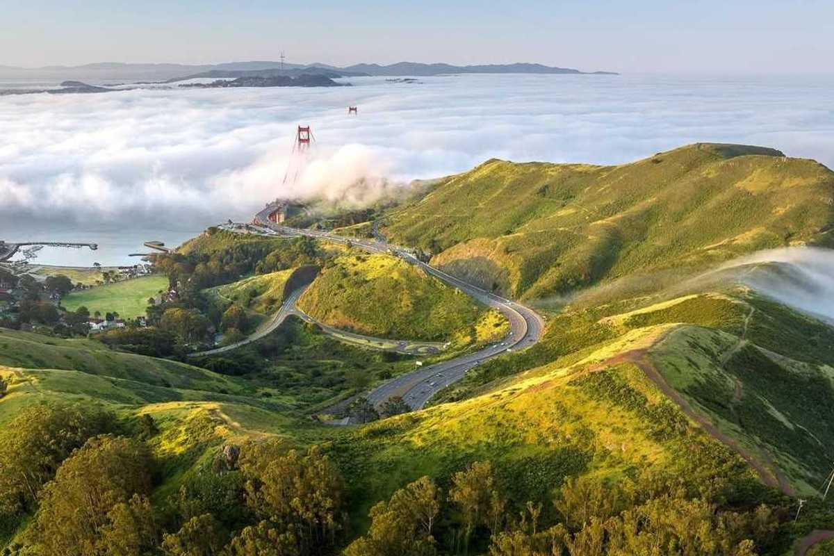
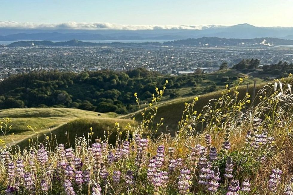
Lagoon, Julian, SCA + Miwok Trail, Marin Headlands (9.7-mile loop)
(Shoshi Parks)
You’ve never seen the Golden Gate Bridge and the city that lies beyond look so jaw-droppingly beautiful as they do from this trail through the Marin Headlands. And those aren’t the only views in store on this massive loop, which begins next to the breaking waves of Rodeo Beach. On a clear day, you can see all the way to the Farallones as you drift over bluff and dale, and climb steep trails into the clouds. The AllTrails map will keep you on track as you transition from one trail to another. For a moderately difficult 10-miler, this stunning route may be the Bay Area’s best. // Rodeo Beach (Sausalito), parksconservancy.org
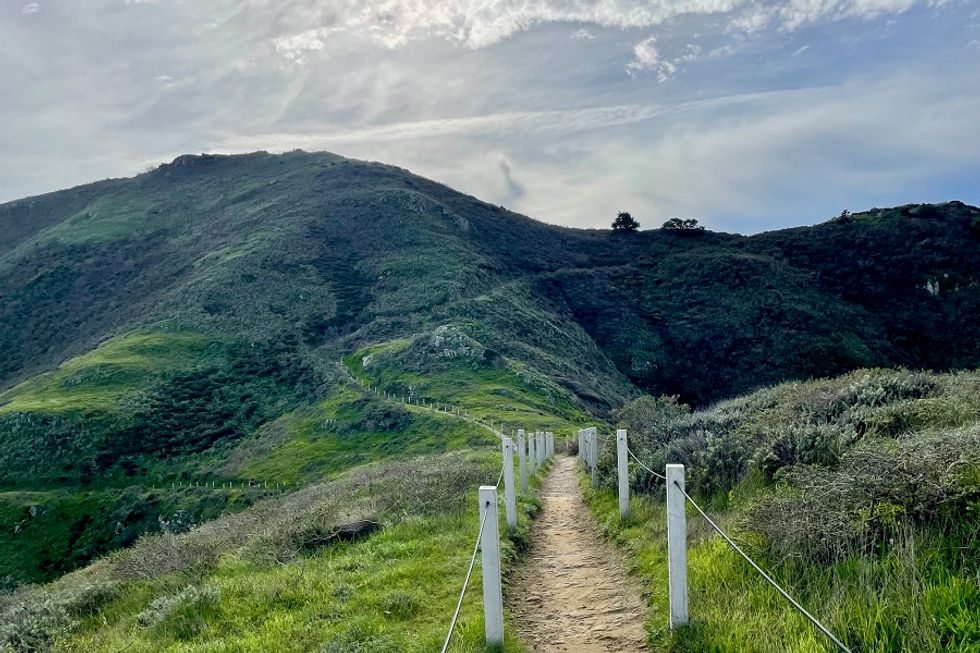
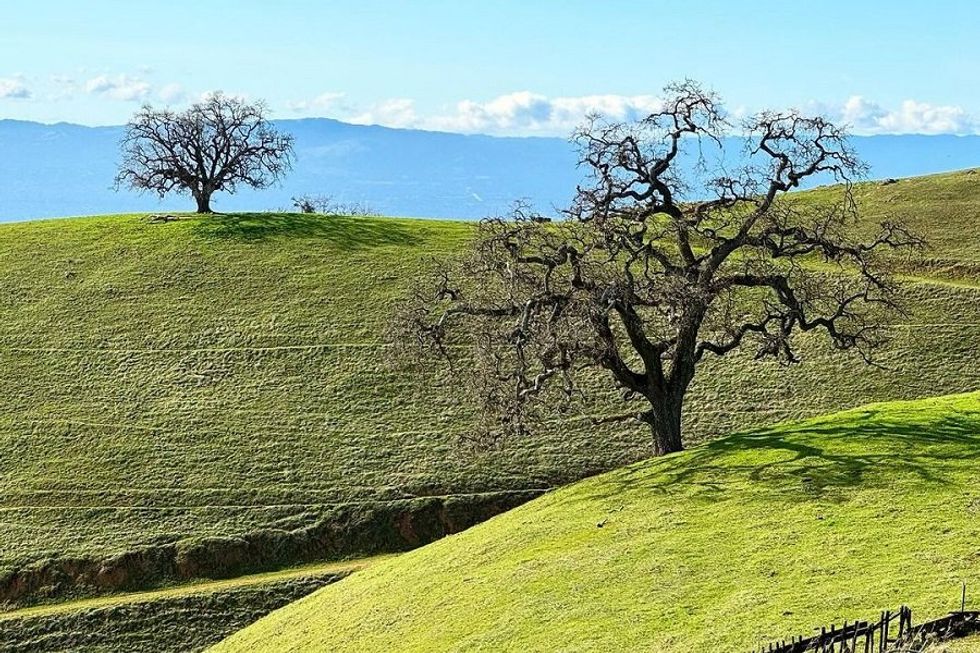
Belgum to San Pablo Ridge to Wildcat Canyon, Wildcat Canyon (9.1-mile loop)
(Courtesy of @tacomaki)
This pretty 9.1-mile loop through Wildcat Canyon Regional Park has several things going for it: terrific views of the Bay and Golden Gate Bridges, and the sapphire jewel of San Pablo Reservoir; a patchwork of rolling oak lands; and the ruins of the 110-year-old Belgum sanatorium. Best of all, this little park—the lesser visited sister of neighboring Tilden—is literally in the East Bay’s backyard, just 12 miles from Oakland. There’s nothing like a long, energy-restoring hike that doesn’t require a long, energy-draining drive. // 5755 McBryde Ave. (Richmond), ebparks.org
Avenue of the Noble Giants, Joseph D. Grant County Park (10.9-mile loop)
(Courtesy of @pozdeev293)
If you make it past the first few miles of steep climbs, the Avenue of the Noble Giants will reward you with gently rolling emerald or golden valleys (depending on the season) and the whole of the South Bay stretching out at your feet. A remarkably quiet trail, the chances of catching sight of wildlife like foxes, bobcats, and feral pigs are high here, and you’ll have just over ten miles to figure out who exactly the trail’s namesake “noble giants” are. (The stately oaks on the trail? The mountain peaks in the distance? Your guess is as good as ours). // 18405 Mt. Hamilton Rd. (Mt. Hamilton), parks.sccgov.org