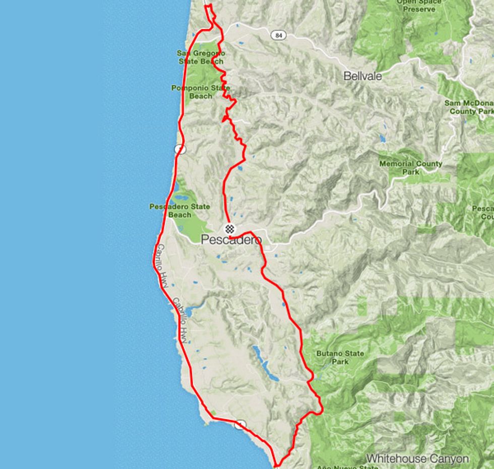
If a 31-mile jaunt through the rolling hills of coastal California sounds like a day well spent, then this pleasant ride is for you.
We recommend heading to Pescadero mid-week or in the early morning (if you can swing it) to avoid heavy traffic on PCH. Thankfully, Highway 1 has a wide shoulder so you relax and take in the famous views. The first and last segments of the ride are on mellow country (albeight hilly) roads.
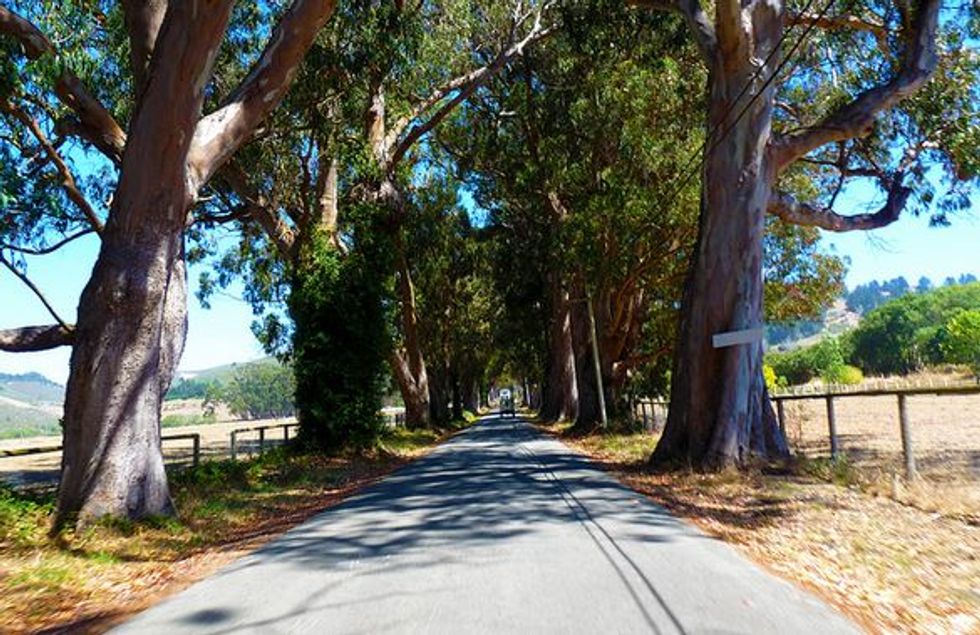
Stage Road, north of Pescadero (photo by Craig Howell via Flickr Creative Commons)
How to Get There
From San Francisco:
1. Take Highway 1 towards Half-Moon Bay
2. Proceed 14.8 miles south to Pescadero Creek Rd.
3. Turn left and go east 2 miles to Pescadero
4. Turn left onto Stage Rd.
5. Park anywhere.
From the East Bay:
1. Take Highwa 92 to Half-Moon Bay.
From the South Bay:
1. Take Highway 84 west from Hwy. 280 to San Gregorio.
2. Head south on Highway 1 for 4.9 miles.
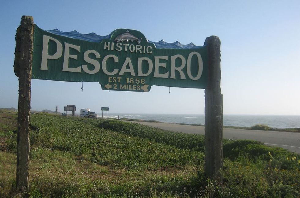
Pescadero sign on Hwy. 1 (photo by Eugene Kim via Flickr Creative Commons)
The Ride
While riding in either direction can be enjoyable, due to the prevailing winds, the preferred route is counterclockwise to get a nice assist while heading down the coast. Heading north on Highway 1 can be a chore otherwise. If that’s not enough to convince you, the views are better from the west side of the highway.
The step by step:
- Head north on Stage Rd. Enjoy the rural setting.
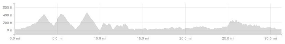
- At the 2.5-mile mark, you’ll start the first of the three Stage Rd. climbs.
- After climb number 2, at mile 7.2, cross Hwy. 84 at San Gregorio. There is a general store here if you need fuel, just remember to take your bike shoes off before entering.
- Continue north on Stage Rd. for climb number 3, the day’s longest at about 425 feet.
- At the crest you’ll intersect with Hwy. 1. Carefully make a left turn and head south for a long and fast descent.
- Next are a series of short ups and downs as you pass through San Gregorio and Pomponio State Beaches.
- It’s smooth sailing for the next 6 miles.
- At 19.7 miles into the ride, you may want to take Pigeon Point Rd. and check out the historic lighthouse here, built in 1871. It now serves as a hostel.
- 2.5 miles south of the lighthouse, carefully make a left onto Gazos Creek Rd.
- After 2.2 miles, make a left onto Cloverdale Rd. heading north once again for the last climb of the day.
- Possibly too soon you’ll reach Pescadero Creek Rd. at the 30.5 mile mark. Turn left to return to your vehicle and enjoy some post ride snacking.
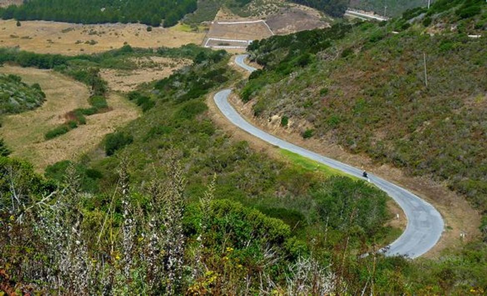
Looking down on Stage Rd. (photo by Craig Howell via Flickr Creative Commons)
Other Things to Do
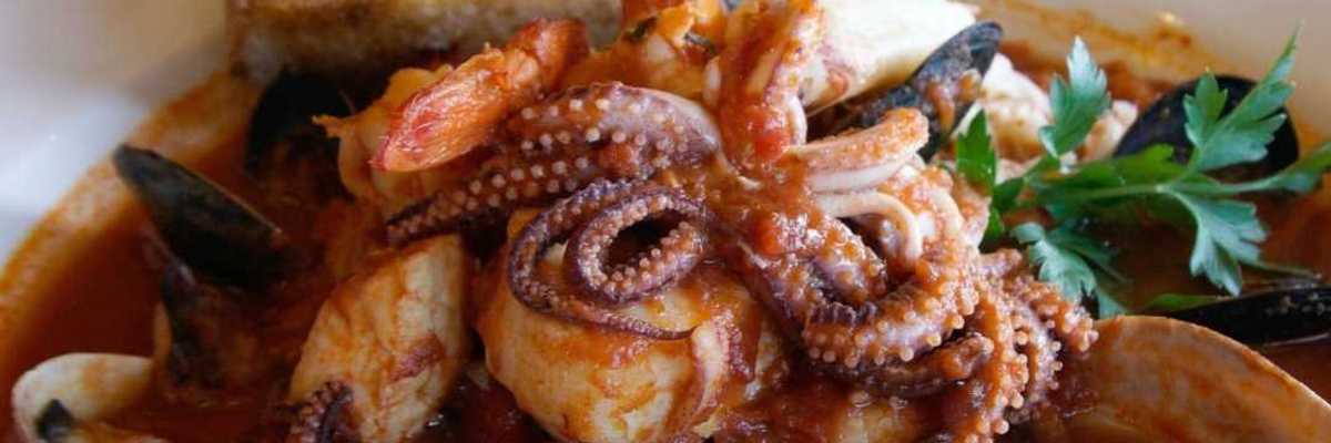
Duarte’s Tavern in Pescadero is a great spot for breakfast or lunch, while Norris Market has picnic tables and a restroom outback for an al fresco break. Pigeon Point Lighthouse is often open for tours (for a fee).