Living in the Bay Area means that our average, everyday views are some of the best in the world.
Here are five of our favorite short hikes with spectacular vistas along the way.
Lands End Trail, San Francisco
Been talking about doing this one for a while and still haven't made it out to the northwest corner of San Francisco? Bite the bullet and head to Lands End this weekend, where four miles of beautiful, well-maintained trails offer views of China Beach, Sutro Baths, and the Golden Gate Bridge. The hike isn't strenuous at all, so it's a good place to bring family. Learn more.
Inside Tip: While you're on the Coastal Trail, look for a turnoff to Mile Rock Beach.
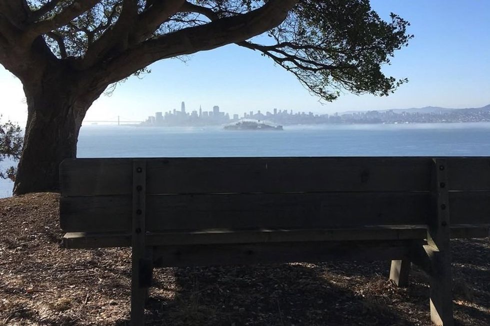 The view of SF from Angel Island(Courtesy of @angelislandstatepark)
Angel Island, San Francisco
The largest landmass in the Bay, Angel Island is a short ferry ride from SF and full of hiking trails and campsites—not to mention spectacular views of the city. Hike the five-mile perimeter loop, which gets you a 360-degree look around the bay and takes you to the top of Mt. Livermore, the highest point on Angel Island. Learn more.
Inside Tip: Enjoying island life? Reserve a campsite and stay overnight to see San Francisco all lit up.
Muir Beach Overlook, Marin
It takes no time at all to drive over the Golden Gate Bridge to Muir Beach, and the sunset that awaits you at the overlook make the jaunt worth your while. The overlook is set a mile north of the main beach; park in the nearby lot, walk five minutes, and you're there—so, definitely more view than hike on this one. On a clear day, you'll be able to see miles up and down the coastline and all the way to the Farallon Islands. Be sure to bring layers; it quickly gets chilly when the sun goes down. Learn more.
Inside Tip: From December through spring, thousands of gray whales migrate from their Arctic feeding grounds down to Baja, California—and they hug the California coastline the entire way. From the overlook there's a good chance you'll see some passing by.
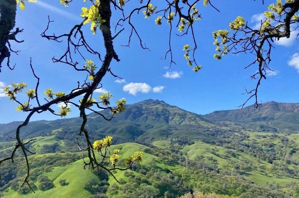 Mount Diablo in the East Bay(Courtesy of @savemountdiablo/Brit Hutchinson)
Mount Diablo, East Bay
The climb up Mt. Diablo is a significantly more challenging than some of the other hikes here. At 3,849 feet tall, this is the East Bay's highest peak, and the trail leading up to its summit is 6.8 miles long—which, of course, leaves another 6.8 miles for you on the way down. Bring hiking boots, lots of water, and snacks, and know that your effort will be rewarded with spectacular views once you get to the top. Learn more.
Inside Tip: Grab beers to go at Walnut Creek's ØL Beercafe & Bottle Shop (1541 Giammona Dr.).
Tank Hill, San Francisco
Want the views of Twin Peaks without the crowds of tourists? Then Tank Hill is for you. Tucked away in Cole Valley, Tank Hill is something of a hidden gem—it's hard to find unless you know it's there. Drive to the eastern dead end of Belgrave Avenue and follow the small path up to the 650-foot summit, where you'll get views spanning from the Marin Headlands to the southern end of the East Bay. Learn more.
Inside Tip: There's only one bench up there but more than enough space to spread out a picnic blanket. Grab supplies at the market on Cole Street and lunch alfresco.