After six weeks out of commission due to another intense rainy season, Big Sur reopened to visitors last week.
That’s especially great news for hikers. It’s not an exaggeration to say that the treasured coastal corridor has some of the most scenic trails in the entire U.S., and we can’t wait to be among the first to lace up our boots.
Here are five of our favorite Big Sur hikes to celebrate the region’s eagerly anticipated comeback.
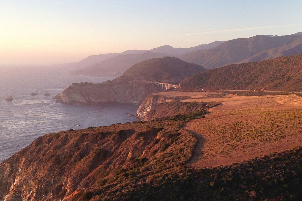
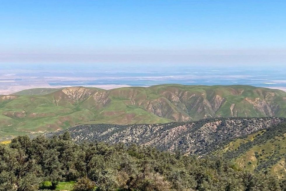
Pfeiffer Ridge Loop, Andrew Molera State Park (8-mile loop)
(Courtesy of @tiffschaffer)
The quintessential Big Sur hike, this loop in Andrew Molera State Park packs stunning views, whale-watching, and beach lounging into a single day. From the main parking lot, take the Creamery Meadow Trail to the Bluffs Trail for a birds-eye view of the sea and its passing wildlife. About 2.5 miles in, you’ll hit the Spring Trail, the path to a sweet little beach that’s just far enough out to be insulated from the tourist hordes. After some R&R, continue onto the Panorama Trail, which climbs up to the Pfeiffer Ridge, then loops you back to the Creamery Meadow Trail.
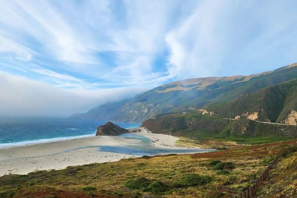
// 45500 CA-1 (Big Sur), parks.ca.govSobranes Canyon Trail, Garrapata State Park (2.8 miles out-and-back)
(Courtesy of @jenesis536)
This lovely little hike is the perfect fit for any size trip to Big Sur. Over an almost three mile span, the trail passes through a wildflower-rich valley, crosses over shallow streams, and meanders through a lush redwood forest. You’ll catch some picture-perfect views of the coast along the way too but, unlike some of the other hikes on this list, you’ll only have to gain 500 feet in elevation to do it. Take heed of the park’s name before you hit the trail: The ticks here (and poison oak) don’t mess around.
// 34500 CA-1 (Carmel-By-The-Sea), parks.ca.gov
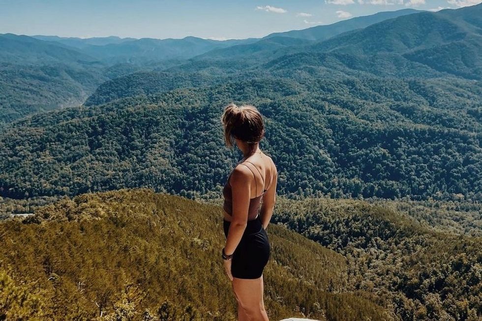
Tanbark Trail and Tin House Loop, Julia Pfeiffer Burns State Park (6.5-mile loop)
(Courtesy of @neipate)
This loop through Julia Pfeiffer Burns State Park is a strenuous one but the 2000+ foot elevation gain is well worth the reward: Virtually endless panoramic views of the Big Sur coastline. Pick up the trail at its redwood-and-oak forest origin then steel yourself for the upward climb on the Tin House Trail. When you reach the tippy top, breathe in the view and take heart, it’s smooth downward sailing along the Tanbark Trail for the hike’s remaining 3.5 miles.
// 52801 CA-1 (Big Sur), parks.ca.govBuzzard’s Roost, Pfeiffer Big Sur State Park (3-mile loop)
(Courtesy of @tyrazae)
This short loop trail in Pfeiffer Big Sur State Park doesn’t have the kind of epic ocean views that some of the other hikes on this list do. But Buzzard’s Roost doesn’t need them: The coastal forest is just as pretty as the shore’s iconic bluffs. The lollipop loop begins at the main parking lot before steadily climbing uphill. Although AllTrails still has it marked as closed, Pfeiffer Big Sur’s website confirms that the trail is open for business.
// 47555 CA-1 (Big Sur), parks.ca.gov
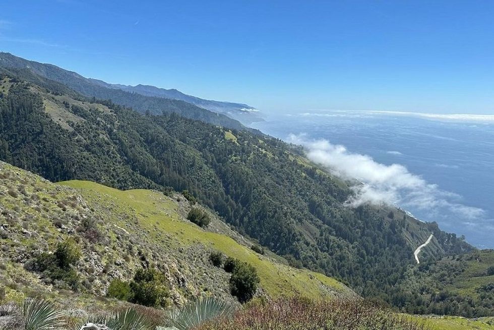
Coast Ridge Road to Terrace Creek Trail, Los Padres National Forest (8 miles out-and-back)
(Courtesy of @sicilian_peteza)
While this trail in Los Padres National Forest won’t get your toes in the sand, it will give you a whole new perspective on Big Sur. Instead of sticking to the bluffs, the Coast Ridge Road to Terrace Creek Trail winds from low elevation redwood grove to the rugged peaks of the Santa Lucia Mountains. On a clear day, the views from the vast majority of the trail are all-encompassing and absolutely gorgeous. Except for the first and last mile of the hike, this trail has very little shade so be sure to bring plenty of water.
// Coast Ridge Rd. (Big Sur), fs.usda.gov/lpnf