This nearly thirty six-mile loop through northeast Marin can satisfy the needs of a variety of cyclists. Just completed a century or long road race? Then this mellow cruise to Nicasio via the Hicks Valley makes a great recovery ride. Are you a beginning cyclist looking for something slightly more challenging? Once again, just what the spin doctor ordered. Want a leisurely ride in the country with a couple of great spots to have lunch? Right this way.
Our start point is the Park n’ Ride lot on the east side of Lucas Valley - Smith Ranch Road exit off Highway 101. Head out of the lot onto the main road and go left (west) under the freeway for .8 miles on the Lucas Valley Road followed by a right turn at the stoplight. When Las Galinas Road meets Miller Creek, turn right again and as you near the freeway make a diagonal left at the stop sign and enter bike path Route 5 as it climbs north alongside the freeway soundwall over the Ignacio grade to Novato.
At the path’s end, angle across the four-way stop intersection to continue north, parallel to the highway on bike-laned Alameda del Prado. At the T-intersection stoplight, make a left onto Ignacio Blvd. for the gentle, mile and a half ascent up Indian Valley, where you’ll make a right turn at the Sunset Parkway stop sign or a short climb over the ridge saddle and down to South Novato Blvd. After making a left at the light here, we’ll be on Novato Blvd for quite some time (3.75 miles). After the four-way stop at San Marin High School the road narrows. Those wanting avoid this narrow section for a more protected amble up to Stafford Lake can take the bike path on the south side of the ride. At the base of the dam Novato Blvd. becomes the Hicks Valley Rd and brings us past Stafford Lake Park where restrooms and water are available.
The ensuing climb to the valley is fairly short, but there are a couple of 10% spots. Once over the second bump, you’ll get a fabulous view of the verdant Hicks Valley and an opportunity to take a breather at the Cheese Factory, a mere half mile to the left from the T-intersection with the Pt. Reyes Petaluma Rd. Numerous shaded picnic tables and a grassy, tree-lined pond, not to mention superb camembert cheese, are both cause to linger here at the halfway point.
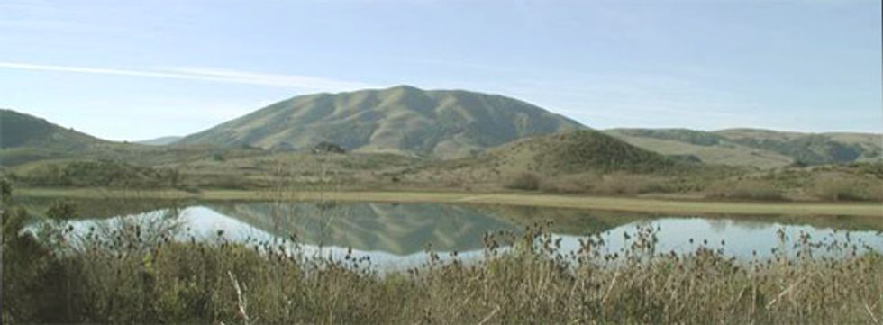
Rested and fortified, continue onward for another easy climb and then a ripping fast descent down to Nicasio Reservoir where you’ll carefully make a sweeping left onto Nicasio Valley Rd., which offers a wide shoulder and great excuse to form a fast paceline. The views here are excellent, especially across the lake to Black Mountain as you head into the tiny, charming village of Nicasio. Restrooms are located at the ball field directly across from the Rancho Nicasio, a good choice for a more ample, sit down lunch should that be your want.
Heading out of town for a half mile brings us to a left turn onto the Lucas Valley Rd. (at 25 miles) and a straight shot back to our start point. The highest point of the ride is at the crest of Big Rock Ridge at 30 miles (617 feet), the ascent up is rated a Cat 4 on Strava, but isn’t that difficult unless it’s late on a very hot day. The twisting, eight percent descent down is a bit tricky, fortunately on many corners there is plenty of road, but still caution is in order on your first time down. Once the road flattens out and the bike lane begins the gradual downgrade of the next four miles offering the strong possibility of a raising the day’s average speed.


