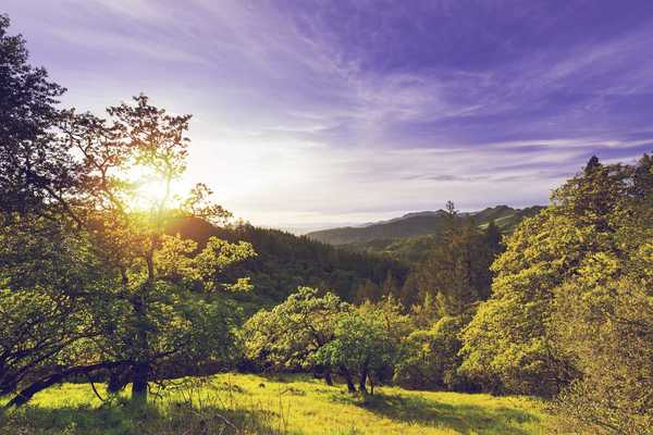
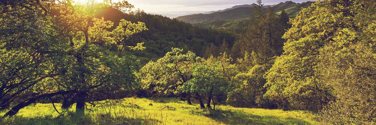
As one of the Bay Area's most accessible urban hikes, a climb up San Bruno Mountain has rewards at every twist and turn of the trail. The relative isolation of this steep-sloped, northernmost peak in the Santa Cruz mountain range has created habitat conditions for 14 rare and endangered species. With over 12 miles of trails there's much to see in this special place.
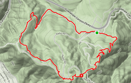
Our three and half mile loop hike will afford numerous panoramas in every direction as we rack up 780ft feet of elevation change. The peak itself is 1314 feet above sea level and is festooned with radio and communication antennas. The combined state and county park covers over 2700 acres and is bisected by Guadalupe Canyon Parkway; it can be accessed from Hwy. 101 via Bayshore Blvd. or from Daly City by way of East Market St.
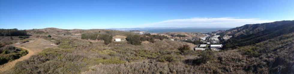
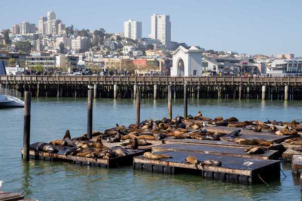
The park entrance is at the crest of Guadalupe (there is an admission fee). At the north side lot are restrooms, our trailhead is at the south side lot just around the corner from the underpass. Start the hike by bearing left on the Eucalyptus Trail and enjoy the view (above) over Brisbane, Candlestick and Hunters Point and Mt. Diablo in the distance. The trail bends to the right as heading up Dairy Ravine and as we ascend more of the San Francisco skyline comes into view (be sure to bring binoculars). We soon join the Summit Loop Trail, going left, and within two tenths of a mile we’ll reach the apex of the hike, crossing the aptly named Radio Road. Now facing south and overlooking Hillside Blvd. in Colma we begin a long amble along the southern flank of the ridgeline.
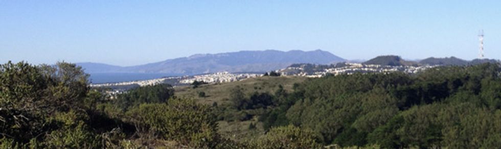
In the distance is Sweeney Ridge and Montara Mountain, Pacifica and, as we swing west, Day City. On windy days, not uncommon here, you may hear the screeching warble of BART trains in the breeze. As the Summit Loop Trail comes back up to the ridgeline above Guadalupe Canyon you may catch the Farallon Islands some 27 odd miles out in the Pacific. On really winter clear days you may spy the white cliffs of Drakes Bay and Pt. Reyes to the North and only on the foggiest will you not fail to see the sleeping lady herself, Mt. Tamalpais (above). The last mile brings you back into the eucalyptus trees and your vehicle. Unfortunately, there is no easy way to access this hike via public transit.