Marin County is home to a plethora of outdoor adventure opportunities—from hiking and biking trails to beaches and lighthouses—spread across its diverse public lands.
Though some of these areas can get crowded on weekends, there are also plenty trails that are comparatively less traveled. Here are a few of our favorites.
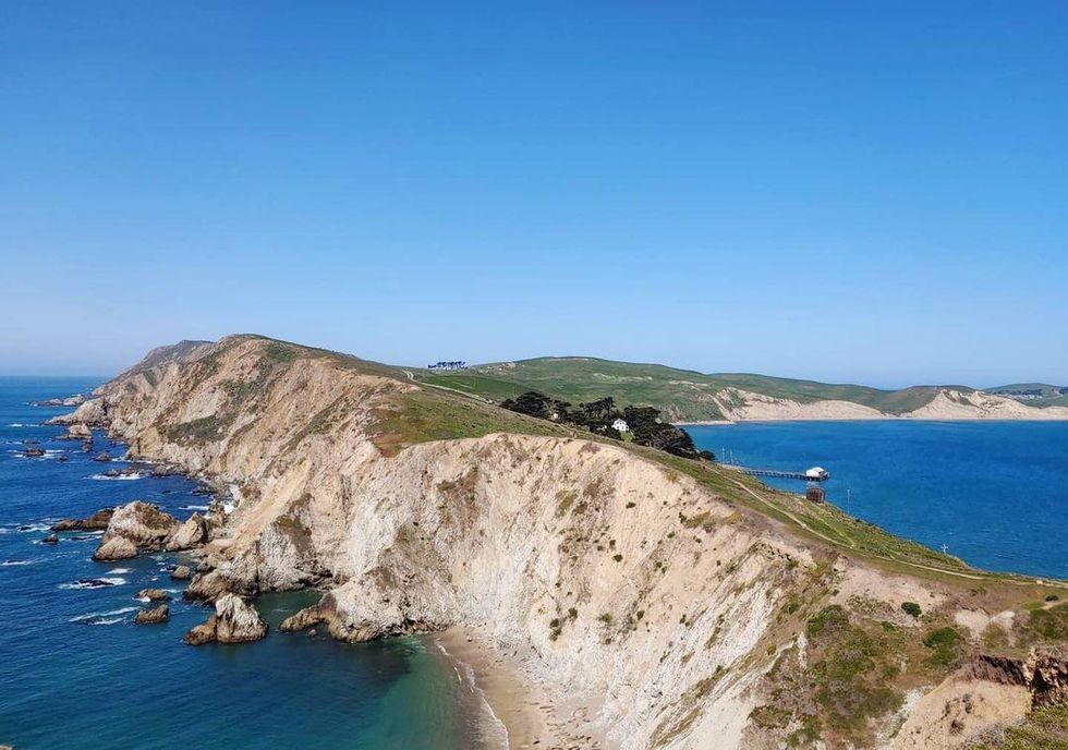 Chimney Rock.(Courtesy of@marsharusby)
1.4 miles, 100 feet of elevation gain, moderate congestion, stunning Point Reyes vista
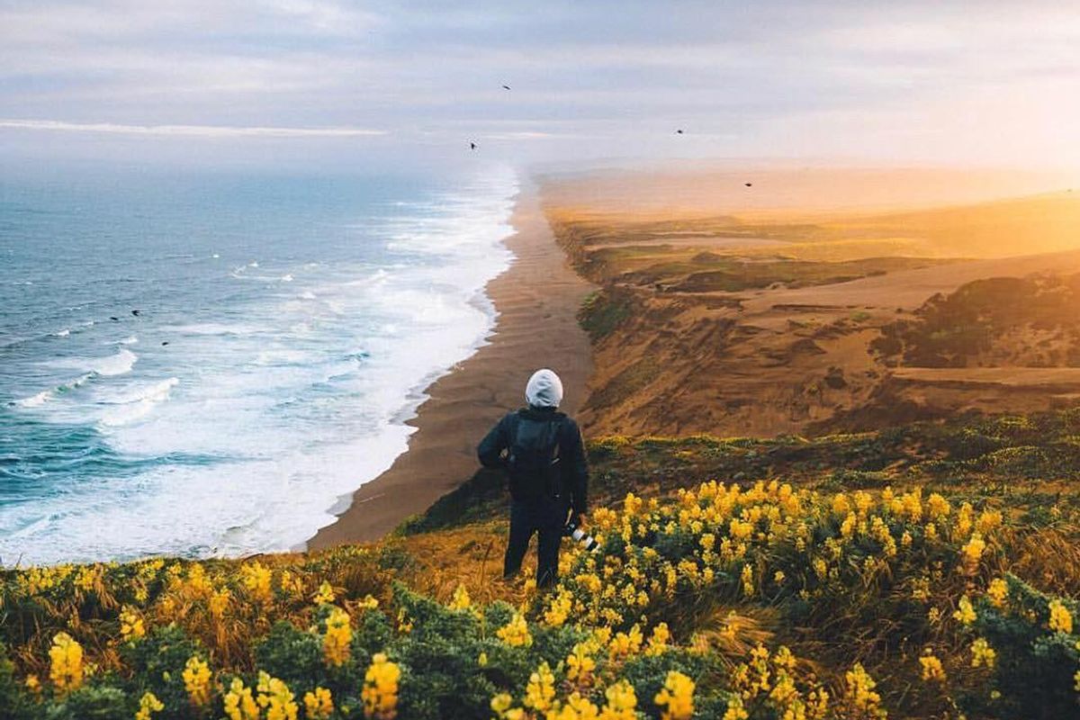
Part of the Point Reyes National Seashore, this short hike out to Chimney Rock provides an unparalleled perspective on the beauty of Drake's Bay and the surrounding swath of Pacific Ocean. The Chimney Rock trail traverses the exposed, bluff-lined peninsula that forms the eastern section of Point Reyes to the tip, which has an overlook of the ocean, Drakes' Bay, and Chimney Rock. Despite the trail's name, Chimney Rock itself might be the least exciting feature of the hike; rather, views of the unique coastline and marine life, Point Reyes' lifeboat history, and spring wildflowers steal the show.
5.2 miles, 320 feet of elevation gain, moderate congestion, secluded summer swimming hole
The hike from Palomarin to Bass Lake along the Coast Trail is long enough to get your blood flowing, but it won't take a full day or all of your energy to complete. A shorter there-and-back hike than Alamere Falls (by about 3 miles), Bass Lake is a destination unto itself that boasts a picturesque lake and a tucked away swimming hole for those warm summer and fall Marin days.
8.2 miles, 1,300 feet of elevation gain, moderate congestion, ends at a waterfall flowing into the ocean
The trip to Alamere Falls offers stunning coastal views of Point Reyes National Seashore and a wonderfully unique waterfall. The landscape is varied with coastal scrub pine and oak forests, and there are several lakes along the way. Alamere Falls pours from a rocky cliff onto a long, wide stretch of beach, and it is the perfect place to enjoy a lunch break or an afternoon stroll in the sand.
Coastal Trail, Pantoll to W Ridgecrest Blvd
5.4 miles, 1,398 feet of elevation gain, low congestion, panoramic vistas from Mt. Tam State Park over the Pacific.
If panoramic ocean views are what you're after, the section of the Coastal Trail running between Pantoll Station and W Ridgecrest Blvd in Mount Tamalpais State Park might just be the perfect trail for you. Traversing approximately 2.5 miles along the upper flanks of Mount Tam's western slopes, this breathtaking section of California's Coastal Trail is relatively flat, allowing you to focus your energy on the surrounding scenery rather than on catching your breath.
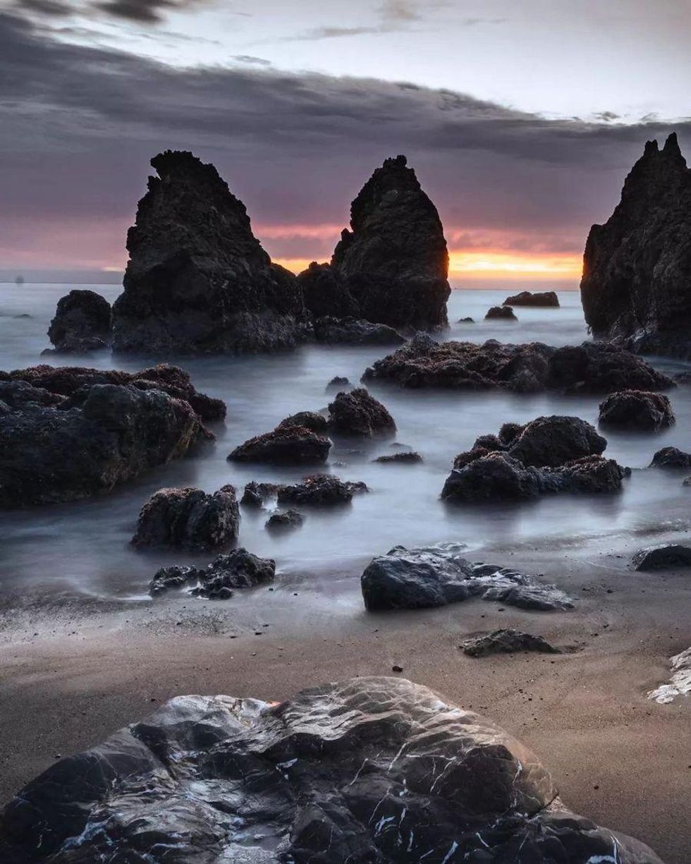 Rodeo Beach.(Courtesy of @exploremarin)
Coastal Trail, Rodeo Beach to Muir Beach
13.1 miles, 3,528 feet of elevation gain, high congestion, explores beaches, coves and rugged coastal bluffs
This section of the Coastal Trail begins not too far from the Marin Mammals Center at Rodeo Beach, a unique sandscape made up of pebbly red and green chert grains. You'll quickly note the dilapidated military structures visible in the distance; in contrast to Rodeo Beach's Fort Barry and Fort Cronkhite, both of which serve as National Park Service facilities, all of the batteries and small gun emplacements on the ridge are empty and abandoned, their walls covered by graffiti.
Muir Woods via Deer Park Fire Road
4.3 miles, 860 feet of elevation gain, moderate congestion, backdoor trail into Muir Woods
With nearly one million annual visitors, Muir Woods National Monument can feel like a tourist zoo at times, particularly on weekends. Fortunately, there's a little known back-door entrance, via the Deer Park Fire Road, that offers a pleasant hike with coastal views, ridges, and redwood stands and is a guaranteed way to avoid the crowds.
Sky Trail Loop, Bear Valley to Mount Wittenberg
7 miles, 1,291 feet of elevation gain, moderate congestion, a portal to Point Reyes lesser known country
Point Reyes National Seashore is a 70,000-acre outdoor playground about 30 miles north of San Francisco. With ample trails, campgrounds, and beaches, Point Reyes attracts outdoor and nature enthusiasts from around the world. The area has a resident tule elk herd, a huge variety of bird species, and it is a favorite mating spot for northern elephant seals.
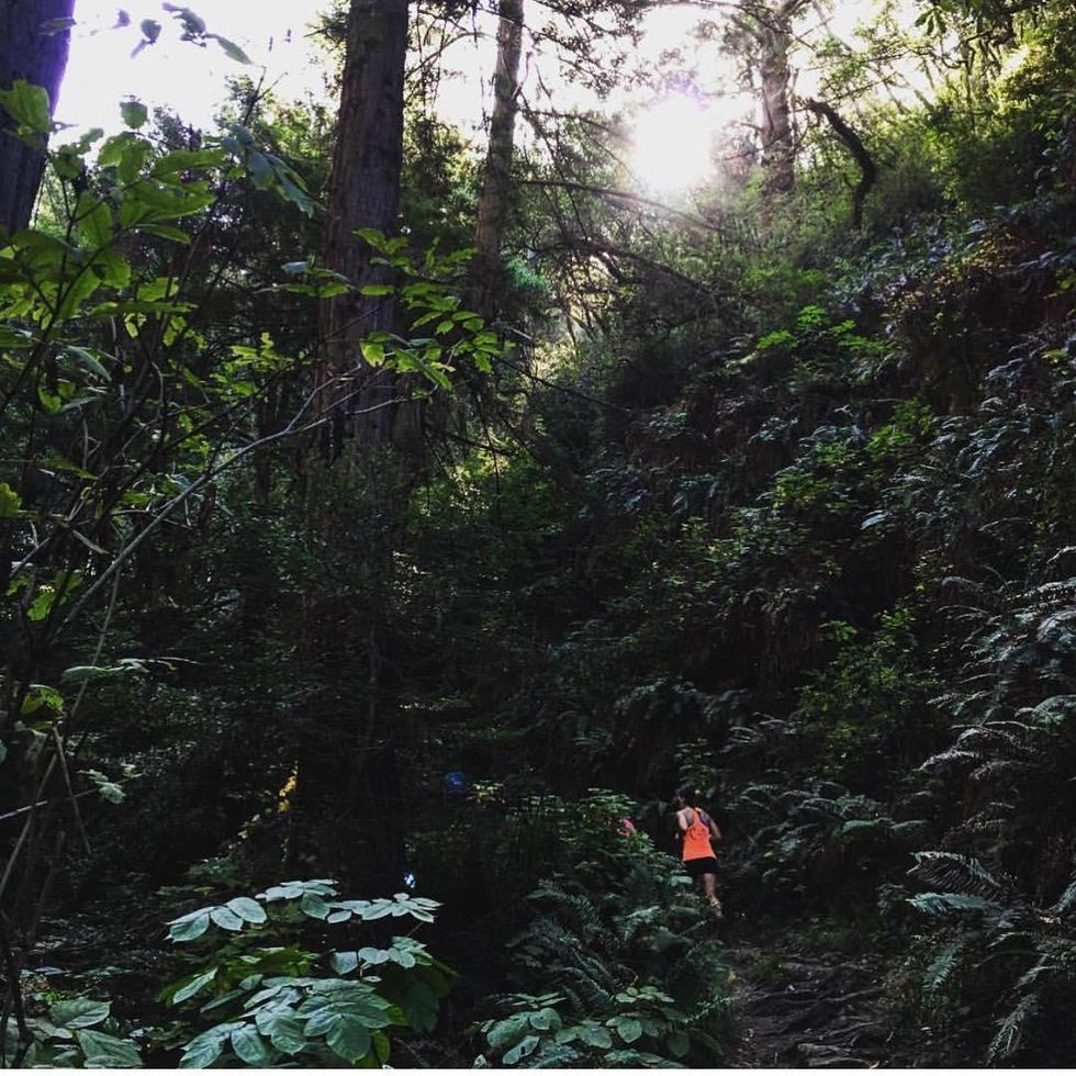 Steep Ravine Trail.(Courtesy of @novemberproject)
Steep Ravine Trail to Dipsea Trail Loop
3.4 miles, 950 feet of elevation gain, moderate congestion, diverse loop with redwood-filled ravines and coastal views
Mount Tamalpais State Park's Steep Ravine Trail is a worthy hike by itself, but when you add the western stretch of the Dipsea Trail to make it a loop, this becomes one of Mount Tam's most spectacular jaunts. The Steep Ravine Trail follows Webb Creek through a cascading canyon under a canopy of lush redwoods and fern-filled gullies. You'll pass over a handful of wooden bridges crisscrossing the creek, and even scramble up a 10-foot ladder surmounting moss covered boulders. This shaded, verdant oasis feels like Land Before Time territory, and thoughts of urban hustle and bustle float away with the creek's flow.
5.7 miles, 1,177 feet of elevation gain, low congestion, solitude in Marin's hilltop interior
With no shortage of trails in Marin county, it's easy to overlook the Loma Alta Trail. Located just across from Big Rock Trail and off of the same parking lot, this hike is well worth exploring if you are searching for open space in the beautiful hills of Marin.
East Peak via Hogback + Fern Creek Trail
4 miles, 1,600 feet of elevation gain, moderate congestion, direct route to Marin's tallest peak
A moderate half-day hike, the Hogback Fire Road to Fern Creek Trail route provides some of the most direct access to East Peak, the true summit of Mount Tamalpais. Winding up Mount Tamalpias' south facing slopes, the route ascends open fire roads before splitting off on the Fern Creek trail en route to the summit. East Peak, and much of the trail itself, offers spectacular views of the Pacific Ocean, the surrounding Marin hills, the San Francisco Peninsula, and San Pablo Bay.