The Bay Area is a hiker's paradise (duh, that's why most of us live here). Countless trails weave and wander through chaparral, oak savannah and redwood–filled ravine landscapes. From one bend of a trail to the next, you'll see remnants of old redwood forests and sweeping ocean views.
In our Mediterranean-like climate, flowers bloom year round and the high-pitched chirps of hummingbirds are never far away. And while it's rare to find yourself all alone on a trail, the crowds are well dispersed with so many hikes to choose from.
The biggest concern for many people is the proliferation of poison oak, especially in impacted areas and on overgrown sections of trail, so wear long pants if you're vulnerable to the plant's effects.
The following trails are some of the best to visit in the Bay Area. They've been organized into three areas, the San Francisco Peninsula including the Santa Cruz Mountains, Marin and Point Reyes north of San Francisco, and the East Bay outside of Oakland and Berkeley.
The Best Hikes on the San Francisco Peninsula and Santa Cruz Mountains
Lands End Coastal Trail is a local favorite, traversing the bluffs above the waters of the Golden Gate and extending around the northwest tip of San Francisco. The trail connects Lands End and Sutro Baths to the city's Sea Cliff neighborhood, offering stunning views of the Golden Gate Bridge and Marin's rugged coastline across the channel.
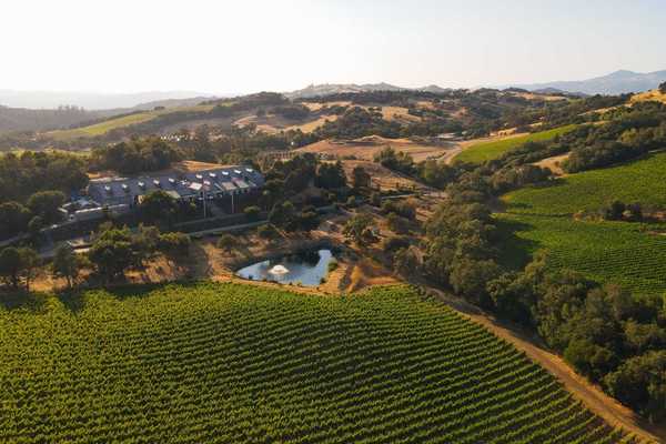
Heading south from the city, the Notch Trail along the coast, and the more inland Montara Mountain Trail are near Pacifica. These trails offer some spectacular ocean views. The trail to Montara Mountain has a healthy climb on the 2.5-mile trail to the summit. The Purisima Creek Trail in Purisima Creek Redwoods Open Space Preserve takes hikers under the canopy of towering redwood trees, as do the trails further south in Big Basin State Park.
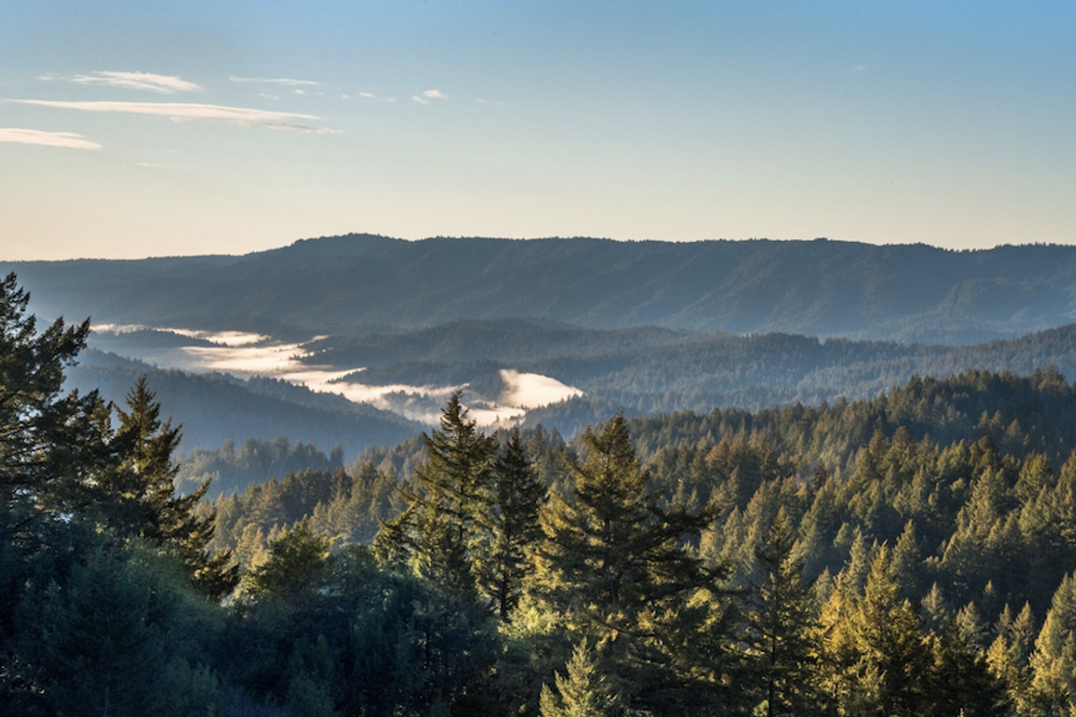
It's here in the Santa Cruz Mountains that some of the longer and more secluded hiking gems of the Bay Area are located. The Skyline-to-the-Sea Trail goes from bay to ocean, ending at Waddell Beach and offering camping options for backpackers making the full 28-mile trip. Saratoga Gap Trail is another great option for hiking in Big Basin State Park.
Other Santa Cruz Mountains gems are the Alec Canyon Trail and Knibbs Knob, a short and steep hike with great Bay Area views. The Sprig Lake Trail in Mount Madonna County Park is great for year-round hiking with impressive redwood trees. And although it's less of a hike, the Monarch Trail in Natural Bridges State Park in Santa Cruz is not to be missed in October and November when it becomes a winter refuge for migrating monarch butterflies.
The Best Hikes in Marin and Point Reyes
Directly across the Golden Gate Bridge from San Francisco, the Marin Headlands are home to one of the most scenic trail networks in the state.
The Coastal Trail between Rodeo Beach and Muir Beach provides a great sample of what the Headlands offer. Just to the north is Muir Woods National Monument, protecting one of the Bay Area's few remaining groves of old-growth redwoods. Accessing this very popular area by way of Deer Park Fire Road offers a less crowded route in. Rising up out of Muir Woods are the slopes and trails of Mount Tamalpais State Park. The Steep Ravine Trail to Dipsea Trail Loop goes from high to low and from forest to ocean. Picking up the Coastal Trail again at Pantoll Station to Ridgecrest Boulevard offers some of the best Pacific Ocean views from Marin. You can also hike to the East Peak summit of Mount Tamalpais, where the incredible views of the Bay Area include the San Francisco skyline above the Golden Gate Bridge.
Entering Point Reyes, a variety of trails take visitors through this natural area. None of these trails include big elevation gains, but the scenery is no less rewarding. Palomarin to Alamere Falls, Sky Trail Loop, and the Chimney Rock Trail are not to be missed. On the San Pablo Bay side of Marin, two less crowded hiking options with amazing views are the Novato Hill Climb and Loma Alta.
The Best Hikes in the East Bay
Mount Diablo is the highest point in the East Bay, reaching 3,849 feet. The Summit Visitor Center stone rotunda can be reached by hiking via various trails or driving up to Mount Diablo's summit; one hike from Mitchell Canyon is a wonderfully scenic but surprisingly arduous 6.8-mile hike to the top. If you want to avoid crowds and still get an amazing hike in Mount Diablo State Park, the Eagle Peak Loop is another good climb with great East Bay views.
In the hills east of Berkeley, Tilden Park has some of the best views of the Bay Area. From here, you can look out across Berkeley and see both the Bay Bridge and Golden Gate Bridge as they frame to San Francisco's skyline. The hikes are by no means arduous, but what they lack in effort they make up for with those magnificent views. The Nimitz Way Trail and Arroyo Trail in are two great options. Briones Regional Park, northeast of Berkeley, is another East Bay gem with lots of trails and hills covered in wildflowers.